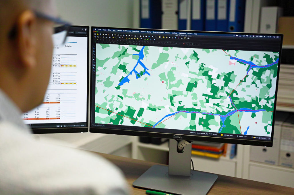
Land Occupation Mapping
InfrastructureOur land occupation-mapping product enables the identification of the best location to initiate a farming project within the target area selected by the client. It also allows us to size the potential development extent of the land.
The remaining land is categorized as relevant, as challenging areas, occupied zones, areas to be reallocated or to be discarded. To perform this assignment, FGM International relies on its partnership with satellite operators such as Airbus Space and Defense, and its own expertise in land appraisal.
Measuring the exact area of cultivable land is fundamental to be able to actually define the project’s size. It also provides the necessary data to undertake a prognosis of the land’s production potential and related revenues.
An agricultural project relies on several factors, depending on the desired crop, such as land flatness, flood risk, rocky areas and so on. Equipped with a land occupation map, the project manager or promoter will be able to adjust the project and to confirm whether or not the selected land suits the required production. For very large-scaled projects, the land occupation map will also facilitate correct project phasing by enabling the selection of the most convenient start point.
- Recent satellite map for imagery and topography purposes. If the satellite view isn’t available, we acquire it on our client’s account in order to refine our analysis.
- Location, accessibility and interconnectivity of the site with surrounding main commercial and transportation hubs.
- Identification of challenging areas: areas prone to seasonal floods, rugged areas and low productivity areas.
- Classification of land suitability.

Prerequisites to deliver the product
- Kick-off meeting,
- Site boundaries.
Deliverables
We generate a series of visual applications and tools together with precise technical recommendations in order to give our client the possibility of overviewing and foreseeing his project’s features:
- Satellite imagery,
- Occupation map (PDF and GIS-compatible),
- Technical note with recommendations.
